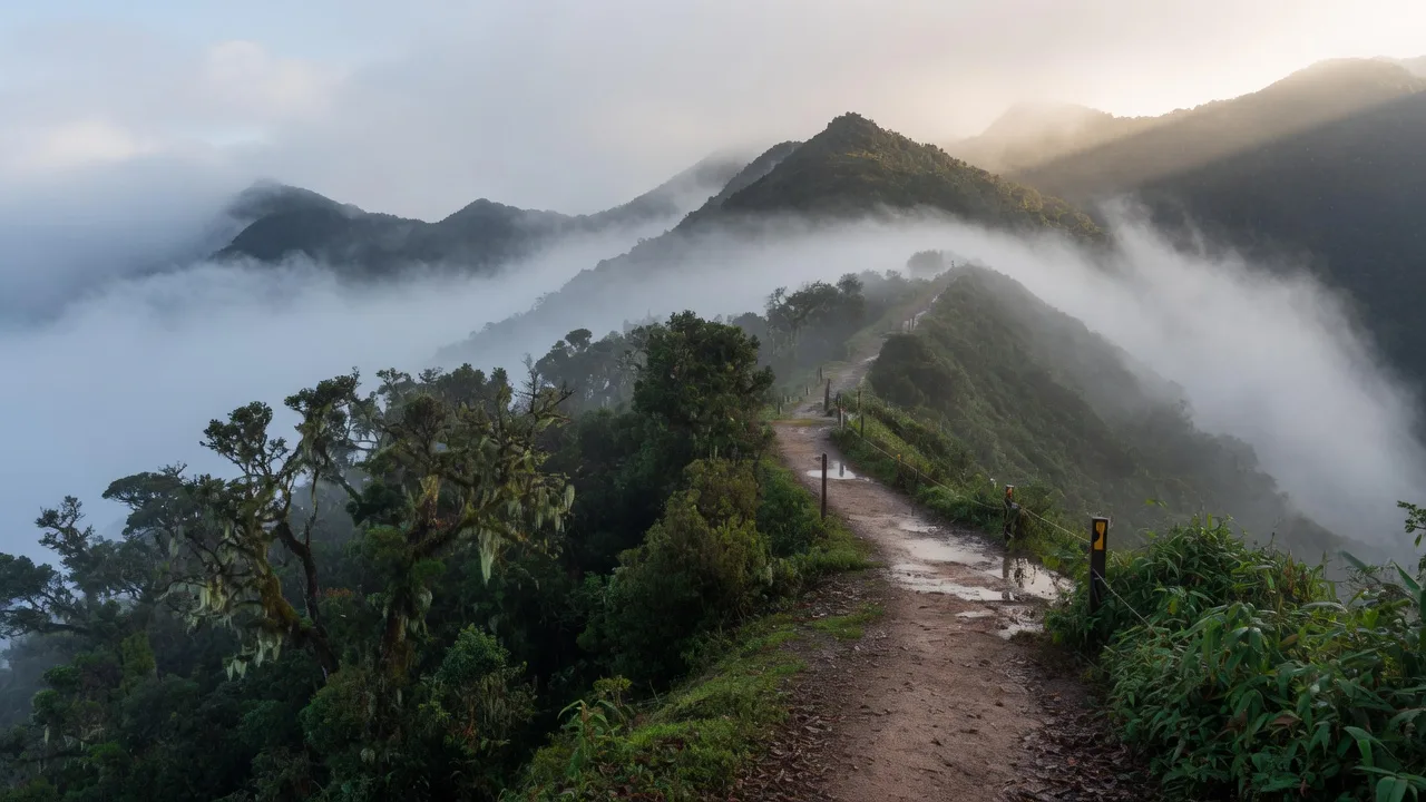
Thailand is famous for beaches. The north is a different country stacked on edge: mist, cloud forest, waterfalls, terraced paddies, and highland villages at altitudes that turn tropical air unexpectedly cold. The ranges are the southeastern continuation of the Himalayan–Myanmar system, running as roughly parallel north–south ridges. That corrugation isolated communities and is why Lanna is not Bangkok with cooler evenings.
Gateway city for almost all of this: Chiang Mai. Highest day-trip: Doi Inthanon. Fees when you enter a park: Park permits.
The northern ranges
| Peak / range | Height | What it is |
|---|---|---|
| Doi Inthanon | 2,565 m | Highest in Thailand; road to the summit; cloud forest |
| Doi Pha Hom Pok | 2,285 m | Second-highest; Fang hot springs; Myanmar-border remote |
| Doi Chiang Dao | 2,195 m | Limestone massif; permit climb; cave at the base |
| Thanon Thong Chai | range | Western border wilds; Huai Kha Khaeng tigers |
Doi Inthanon (2,565 m)
Thailand’s highest peak, Chiang Mai province. The summit is accessible by road — which is why it is also the most convenient high point and the most crowded. Royal Twin Pagodas (Naphamethinidon and Naphaphonphumisiri). Cool-season frost is real. 380+ bird species. Foreigner adult 300 THB in 2026. Doi Inthanon.
Doi Chiang Dao (2,195 m)
A limestone massif that rises as cliffs, not a granite lump. Tham Chiang Dao at the base: caves with Buddha images. The peak is a multi-day climb requiring a permit and guide. Chiang Dao Wildlife Sanctuary holds forest and birds you will not see from a coffee shop in Pai.
Doi Pha Hom Pok (2,285 m)
Second-highest, far north near Myanmar. Less visited because it is a slog. Fang Hot Springs will boil an egg if you need a party trick. The park is the point.
Thanon Thong Chai
The major western chain along the Myanmar border, Mae Hong Son south through Tak and Kanchanaburi. Wilder, less accessible, actual megafauna. Huai Kha Khaeng Wildlife Sanctuary is UNESCO and not a day-trip loop. Wildlife overview, Elephants.
Highland ecosystems
Altitude is a climate machine:
- Tropical evergreen (below ~1,000 m): multi-storey, lianas, epiphytes.
- Mixed deciduous (~500–1,200 m): teak and allies that drop leaves in the dry season. Historically the commercial forest.
- Hill evergreen (above ~1,000 m): laurels, oaks, chestnuts, rhododendrons. Mossy, thick.
- Cloud forest (above ~1,800 m): only on the highest peaks. Reduced stature, perpetual mist. Inthanon summit is the accessible example.
- Pine: natural Merkus pine (Pinus merkusii) on some slopes, especially toward the northeast. Open, grassy, oddly Mediterranean.
Climate zones. A fleece at 2,565 m in January is not eccentricity. Gateway: Packing.
The hill-tribe heartland
The northern mountains hold on the order of 1.2 million people in highland ethnic groups visitors still lump as “hill tribes”:
- Karen — largest, about 500,000. Weaving, farming, a strong identity. Not a costume.
- Hmong — highland farmers; opium largely replaced by royal-project cash crops. Embroidered clothing.
- Akha — silver headdresses, animist practice alongside Buddhism.
- Lisu — colour, festivals.
- Lahu — several subgroups, distinct languages.
- Yao (Mien) — Chinese-influenced, Taoist practice, turbans.
Many communities now sell homestays, guiding, and crafts. Income is real. So is the “human zoo” problem, particularly around Padaung (“long-neck”) Karen villages set up as photo stops. If the village exists so you can pay to stare, skip it. Licensed operators who employ local guides and have community agreements are the other end of the spectrum. Typical trek rates from Chiang Mai have long been quoted from about ฿2,000/day — verify with the operator.
People & Spirit on how not to treat a living culture as a backdrop: Thai social structure, Kreng jai.
Western highlands and Kanchanaburi
South of the far north, the Myanmar-border mountains are lower and still dramatic.
- Erawan National Park — seven-tier waterfall, blue-green pools. Named for the three-headed elephant. Popular; go early.
- Sai Yok National Park — Khwae Noi valley, the bridge everyone misnames, and Kitti’s hog-nosed bat (the world’s smallest mammal).
- Thong Pha Phum — reservoir, forested slopes, raft-houses.
National parks overview. Kanchanaburi is a weekend from Bangkok in a way Mae Hong Son is not.
Visiting
Best time: November–February. 10–25 °C, clearer skies, less rain. December–January at altitude wants layers. March–April is haze in the north; the view you booked can be a white wall. Monsoon seasons.
Access from Chiang Mai (typical drives):
- Doi Inthanon: ~90 minutes to the park, more to the summit
- Chiang Dao: ~75 minutes
- Pai: ~3 hours
- Mae Hong Son: ~6 hours (or a ~35-minute flight when it runs)
Trekking: multi-day with village homestays from Chiang Mai and Chiang Rai. Use licensed operators. Trails close in monsoon for reasons that include swollen creeks and your ankles.
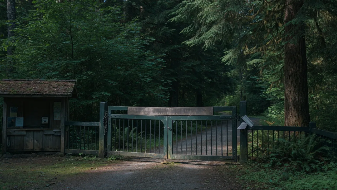
Approach shoes stay a name (footwear size menus). A head torch and compact binoculars if you came for birds. The map buy is Lonely Planet Thailand Planning Map (ISBN 1787017818) — durable waterproof fold map; a guidebook is a different listing. Cash at DNP gates. Drones: no. Park permits.
Cool-season Chiang Mai nights plus Inthanon dawn is two climates in one day. That is the point of the north. It is also why the beach bag you packed for Phuket is the wrong bag.
Park fees at the high gates: Doi Inthanon 300 THB foreign adult (2026). Khao Yai is a different mountain system, 400 THB, three hours from Bangkok, elephants not frost. Khao Yai, Park permits. Similans are not mountains; they close ~16 May–14 October 2026. If the north is haze in March, the Gulf is often still a beach. Which coast.
Hmong and Karen stalls on the Inthanon road sell strawberries and hot drinks because the Royal Project made cold-climate crops a livelihood. Buy the fruit. Do not treat the stall as a costume department. Doi Inthanon.
Next
Doi Inthanon, Park permits, Wildlife overview, Chiang Mai, Northern adventure.